Excursions
![]()
Possibility to visit the historical sites nearby and guided mountain biking tours.
In particular, we recommend these:
The Tour of Eight Rings
Eight cycle routes in the territory of Remanzacco, which develop ring that starts and finishes at the same point. From the square in middle school (via Stringher) it’s off to the four rings that develop in the north, while the four rings of the south part of the “Ragapark” (via Braidotti). The tracks are usable by all people, easy to follow, on roads not dangerous, each marked by a color and a number.
1 Anello di Santo Stefano
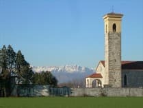 Route of 5.7 km, north-west of Remanzacco, non-hazardous, mostly on gravel road. Short clay.
You go to the church of Santo Stefano, cross the dirt road and continue between the cultivated fields. After a nice stretch it abruptly changes direction, heading north. Nice view of the mountains, perched on the ridge or hillside villages appear Porzus, Canebola, and Costalunga Valley. After a part clay bottom, you enter eastward along the bike path along the provincial town of Udine Stupizza Grions. Bear right at the crossroads and take the dirt road to the south pointing to the bell tower of Remanzacco.
2 Anello della roggia
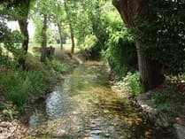 Route of 5.8 km north of Remanzacco mainly on dirt roads. A stretch tiring. Crossing dangerous.
You take the dirt road to the North for sunken Grions between fields. The first houses we turn right along the provincial cycle. In this part of the mountains along the hillside you can recognize the castles of Partistagno, of Cockaigne and Zucco. Cross the road and the bridge over the canal Cividina, turns to the right. Along the river is high and the vegetation lush lush at times. At the junction, continue towards the south (right) on the dirt track in the expanse of meadowland. Arrived at a crossroads of asphalt road, turn right and through the village to return to the middle school.
3 Anello dei quattro pioppi
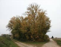 Route of 9.4 km north-east of Remanzacco mainly on gravel road. Ford on the river Malina. Crossing Ziracco. Take the road to the ford Ziracco. From the bridge on roggia you can see the water jump of the mill without the wheel. Descend to the ford and going you can enjoy a magnificent view of the mountains. After the houses Magnis you reach the first houses of Ziracco (at 26 fine newsstands). Keeping to the right you see the “loggia” on the left and past the magnificent Villa della Torre Valsassina. Go through the village to the East worth a detour in the alley Giaiotti sacred frescoes above a doorway in 1706. He turns to the south before the bridge over the junction appears Grivò and the stain of our “four poplars.” It continues behind the bank to turn right at the crossroads towards Remanzacco.
4 Anello delle tre acque
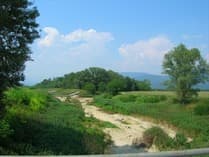 Route of 10.9 km east of Remanzacco mainly on gravel road. Two fords: on Malina and sull’Ellero. Taken in the village of Moimacco. It is out of the country to the East at the crossroads after the ford on Malina, turn right and right again at the 1st crossroads. Fill the horizon hills Butterwick. Turn left towards the bell tower of Moimacco and after the ford sull’Ellero you reach the houses. Turn left and left again to the curve. It runs through a wood and it traces back to the ford. He turns to the north going up the embankment. In the area often happen to admire a group of herons more. When you reach the entrance of the bridge sull’Ellero you can see to the north the confluence dell’Ellero in Grivò and southwards to the confluence of the Chiarò nell’Ellero in a beautiful riverside setting. One turns to the west and returns to the village of Remanzacco.
5 Anello dei Casali Molino Cainero
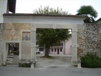 Path 4.1 km to the east / south-east of Remanzacco, non-hazardous, almost entirely on the white road. Also suitable for walking. You exit the Ragapark to the North-East, turn right to turn left immediately. It crosses the canal Cividina in the protected area “ex Peschiera” watching the Julian Alps and is clearly visible on the ridge, you find the village of Castelmonte. We are moving towards the picturesque Country Magretti and holding the left is the grove of “Trees of children” planted for every new born. Continue on the dirt road to the south up to the Country Molino Cainero carefully preserved, where you can admire two sacred frescoes on an ancient stone door, the water jump of the old mill and a newspaper stand. At the exit of the village turn right towards Remanzacco along the canal for a stretch in lovely countryside with mountain views.
6 Anello di Selvis
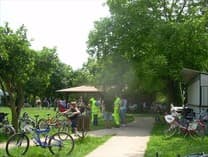 Path 5.9 km south of Remanzacco mainly on dirt roads and driveways. Short clay. Three dangerous crossings. You exit the Ragapark to the North-East, turn right, you cross the Casali Molino Cainero along the canal with picturesque bridges entrance to the houses. You end up on SP48 at the Museum Tonutti and you walk about 100m to the left. Turn right onto the dirt track behind the sheds in the Industrial Area. After crossing a bridge is a beautiful country landscape. At the first intersection, turn right, shortly after crossing an asphalt road and you end up in a thick row of trees along a ditch. Turn right and follow the dirt track in a shady tunnel until you reach the church of Our Lady of the Snow. Leaving the village of Selvis, after a short stretch along the SP48 and turn left on the gravel road, from where you can admire a beautiful view of Remanzacco with the background of the mountains.
7 Anello del Torrente Malina
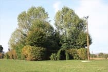 Path km12 south of Remanzacco, developed mainly along the stream Malina, mostly on dirt roads. Two dangerous crossings and a ford. You exit the Ragapark to the north-east and then south to the intersection with the SP48. Turn left and then right between a clump of trees and sheds. At the junction of the dirt road go left in lovely countryside with meadows and woodland. Ai Casali Propetto finds the canal in a bucolic setting. Go left up above the bank of Malina and it runs through to the paved road. The ride is very pleasant between the rustling of leaves of poplars and willows and the view of the Hills of Butterwick. To the left is the ford and after a few hundred meters, turn north to a dirt road that offers a magnificent view of the Julian Alps. Walk along the canal for a distance, cross a bridge and at the junction turn towards the north until you reach the SP48. Go to the left and to the Museum Tonutti turn right to return.
8 Anello di Cerneglons
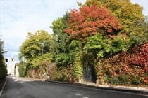 Track mixture of 11.2 km located south-west of Remanzacco mainly on dirt roads. Taken along Cerneglons. Four dangerous crossings. You exit the Ragapark westward and take the dirt road leading to Selvis. Across the SP48 you enter the village and bear right continuing on the dirt track, which goes down in the midst of cultivated fields. At the right fork to the west, you first pass through the SP96 and then the paved road that leads to Cerneglons, continuing straight on the road. Attracted by a broad overview of the country, you approach keeping the left in lovely countryside marked by rows of mulberry trees and were well cared for. In the square, go left up the Via di Mezzo, flanking Villa Laura Villa and Zoccolari. It revisits the SP96, turn left and immediately right onto a track. Going into the dense bush, on the left, cross the canal and climb northwards through meadows and groves of ash, maple, ash, maple and oaks in areas secluded and magical until the present Casali Propetto. You head north, you cross the SP48 to the left and to the Museum Tonutti turn right to Remanzacco.
Park of Malina and torre
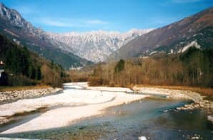 The route runs along the right bank of the Tower using easy dirt roads on the bank or in the floodplains. Some billboards placed at various entrances of the park showing the route through aerial photos. The best stretch of the route is undoubtedly the place south of Via Cividale as the stretch north through an area which in the past has hosted a landfill. The marked trail takes place within the municipal boundaries of Udine but both north and south you can continue to pedal continuing to follow the embankment. To the north is you can connect to the path of the irrigation ditches.
To the south we find the path “paj cjamps” of the town of Pradamano. Crossing the ford of Beivars is now the start of the path Udine-Cividale.
Useful links:
http://www.piste-ciclabili.com/itinerari/476-udine-parco-del-torre
Avioclub Fly & Joy
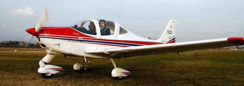
Two kilometers from tructure we find a good school for ultralight aircraft and gliding as well as the chance to experience the experience with flight in an ultralight.
Canoa Kayak
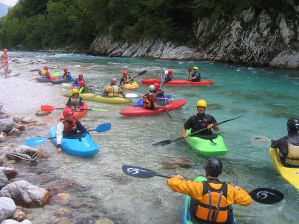
If you want you can experience the thrill of a descent through the rapids of the river Isonzo kayaking or rafting accompanied by the most experienced local guides.


